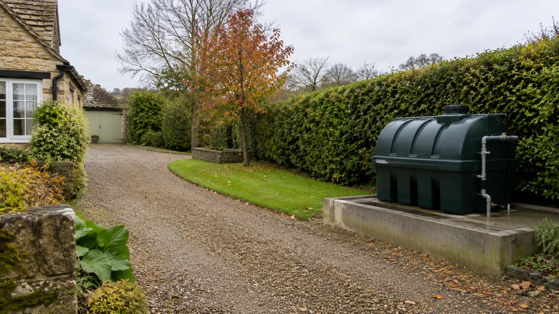
The County Is The Starting Point.
We consider domestic and commercial tank enquiries across Gloucestershire. A town name does not establish vehicle access, ground conditions or the suitability of a tank position, so availability and the method are confirmed against your actual postcode and job details.
The local notes below explain what to flag. They describe the wider setting and questions to ask, rather than claiming every property has the same restrictions.
Gloucester, Cheltenham And Tewkesbury
Enquiries around these towns can involve a garden heating tank, a rural property outside the town or a commercial fuel store. Explain which setting applies and whether access is through the premises, a service yard or a separate entrance.
The Cotswold landscape rises above the Severn valley, as described by National Landscapes. Do not infer the risk at a particular property from that regional description: tell the assessor about water nearby, previous flooding and the actual levels around the tank.
For a replacement, photographs should include the route from vehicle standing to the garden. For a commercial tank, mention delivery movements and any restrictions on interrupting the connected equipment.
Cirencester And Tetbury
Cotswold District Council publishes conservation area mapping for both Cirencester and Tetbury. Cirencester has separately documented town centre and Gloucester Street and River Walk areas, so use the property's exact address when checking whether a designation applies.
The council's conservation guidance also highlights controls affecting some boundary changes and tree work. For tank access, that means a wall, gateway or tree cannot simply be assumed removable.
If a new position is proposed, photograph the current and intended location. Include the full delivery route and identify any consent or ownership question that needs resolving before equipment is booked.
Stow-on-the-Wold And Moreton-in-Marsh
Both Stow-on-the-Wold and Moreton-in-Marsh appear in the district council's conservation area mapping. The council provides maps and, for some places, accompanying character information, which helps identify the setting around an individual address.
The wider Cotswolds is characterised by limestone buildings and dry stone boundaries. Those landscape features do not dictate a method, but they make photographs of gates, walls and usable routes especially helpful when a tank sits behind a property.
Tell us whether the new tank must pass through an existing opening or whether a different route is available. A slimline tank may offer a useful shape, but its final position and support still need assessment.
Chipping Campden And Nearby Villages
Chipping Campden has a published conservation area map, while nearby villages including Blockley also appear in the district register. Check the actual property boundary rather than assuming a whole settlement has identical controls.
In the Cotswold landscape, stone buildings and enclosed boundaries can sit alongside farmed land. For an oil tank enquiry, explain whether vehicle standing is on a drive, in a yard or beside a lane, and whether a hose route crosses shared access.
For farm properties, identify whether the tank supplies farmhouse heating, agricultural activity or another business use. Those are different starting points for selecting storage and discussing applicable requirements.
Stroud And The Southern County
We also consider enquiries around Stroud and the surrounding rural communities, including Dursley. Give the property postcode and describe the final approach rather than relying on a map pin to communicate steps, slopes or changes in level.
A long garden route may affect removal and replacement differently. The old tank could be dismantled after specialist preparation, while the new tank still needs a viable route into its final position.
If work accompanies an extension or a change of heating system, explain the sequence and what must remain operational. The tank contractor and builder should agree responsibility for any base, pipe route and final making good.
Lydney, Coleford And The Forest Of Dean
Natural England's Forest of Dean and Lower Wye profile describes a wooded plateau and the Wye Gorge setting. Access at a particular property still needs its own assessment, including ground levels and room for suitable vehicle standing.
Forest of Dean District Council's flood risk assessment material identifies the River Lyd and its tributary Plummer's Brook in the Lydney study. Flag nearby streams, drainage and any history of flooding when discussing tank location or a suspected spill.
For Lydney, Coleford and nearby villages, include photographs of the approach as well as the tank. If the land is soft or a vehicle cannot reach the property, say so at the first enquiry.
Send The Postcode And The Practical Details.
Include your tank type, approximate fuel level, the work needed and any access restrictions. Photographs can be requested by the responding provider if they are needed for the assessment.
Check Your Enquiry